Custom DEM in MLinkPlanner 2.1 Update 221121
- Sakharov
- Nov 21, 2022
- 1 min read


The long-awaited for many users update.
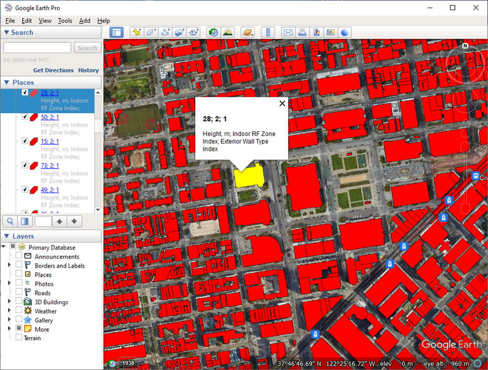
Now, along with the default DEM, there is an option to use a custom DEM in Geo TIFF format.
Geo TIFF is an open format to which elevation data from a LiDAR survey or any other DEM can be converted. So, users have the opportunity to use arbitrary precision DEM to generate microwave path profiles, as well as predict the coverage of the point-to-multipoint BS and outdoor Wi-Fi.
In addition, it became possible to display the DEM in the color palette.
More details in the updated User Manual.


Comments